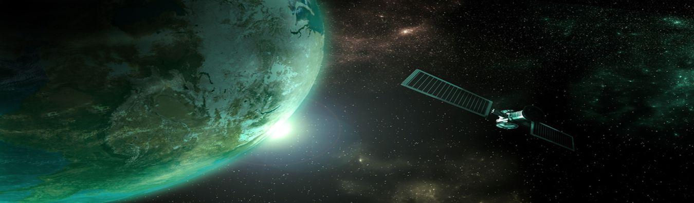
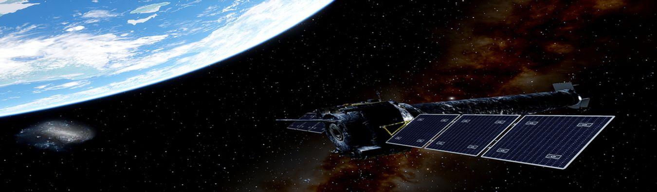
Remote sensing: How to collect a world of data
As relentless innovation makes devices smaller and smarter, many are put in the sky to […]
As relentless innovation makes devices smaller and smarter, many are put in the sky to […]
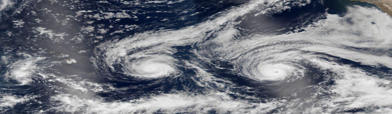
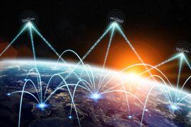
What can governments, enterprises, and technology providers do with a few billion dollars? Make massive strides in socio-economic and scientific advancement, […]
Remote sensing applications pan across various domains, like disaster management, climate studies, socio-economic analysis, geology, astronomy […]
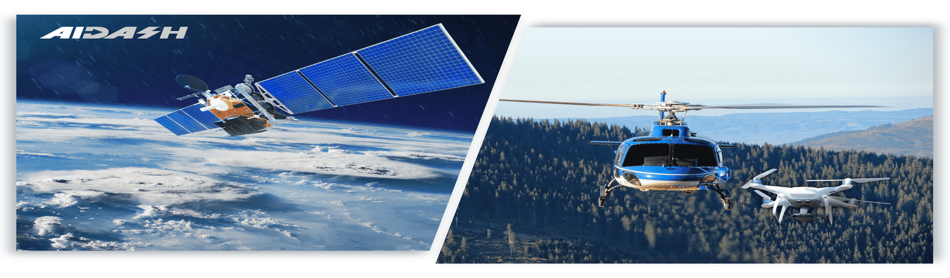
Did you know that the practice of Utility Vegetation Management (UVM) is over 100 years old? […]
If you’re a Geospatial analytics enthusiast, this article is for you. Have you ever come across terminologies like Digital Elevation […]
The word ‘Geospatial’ indicates that data has some Geographic component to it. For us humans, […]