Skip to content
AiDASH

AiDASH

  • Get a Demo
  • Products
    • IVMSIntelligent Vegetation Management System
    • WMPSWildfire Mitigation Planning Services
    • CRISClimate Risk Intelligence System for Wildfire Mitigation & Storm Resilience
    • AIMSAsset Inspection and Monitoring System
    • BNGAI™Biodiversity Net Gain Management System
  • Industry
    • Electric Utilities
    • Gas Utilities
    • Water and Wastewater
    • Energy
    • Mining
    • Transportation
  • Platform
  • Learning Center
    • Learning Center
    • Blogs
    • Intelligent Vegetation Management
    • Prevent Utility-Related Wildfires
    • State of Vegetation Management
    • Sustainability Superheroes
    • Videos
    • Webinars
    • Podcasts
    • Evolve Content Hub
  • Customers
  • Company
    • About Us
    • Leadership
    • Partners
    • Investors
    • Careers
    • Press and News
    • Awards and Recognition
    • Events
    • Contact Us
Understanding the basics of geospatial data using python

Understanding the basics of geospatial data using python

The word ‘Geospatial’ indicates that data has some Geographic component to it. For us humans, […]

By AiDASH | May 12, 2021
Read More >
Getting started with satellite data: All about optical images

Getting started with satellite data: All about optical images

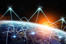
The tech world is witnessing rapid growth in Geographic Information System (GIS) applications powered by […]

By AiDASH | May 7, 2021
Read More >
Texas winter storms and power outages: Could utilities be better prepared?

Texas winter storms and power outages: Could utilities be better prepared?

The US has been an unwilling host to a wide range of weather-related disaster events […]

By AiDASH | February 18, 2021
Read More >
Four major reasons why the pipeline industry needs satellites to prevent leaks

Four major reasons why the pipeline industry needs satellites to prevent leaks

The safety and reliability of pipelines transporting oil and gas particularly natural gas transmission pipelines, […]

By AiDASH | December 15, 2020
Read More >
Synthetic Aperture Radar: The hero tool for remote sensing

Synthetic Aperture Radar: The hero tool for remote sensing

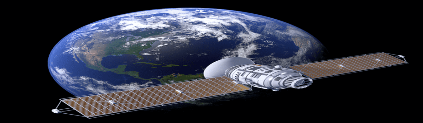
None can deny that satellite technology has now become an indispensable part of everyday life. […]

By AiDASH | December 9, 2020
Read More >
Five reasons why utilities must choose satellite-powered disaster management

Five reasons why utilities must choose satellite-powered disaster management

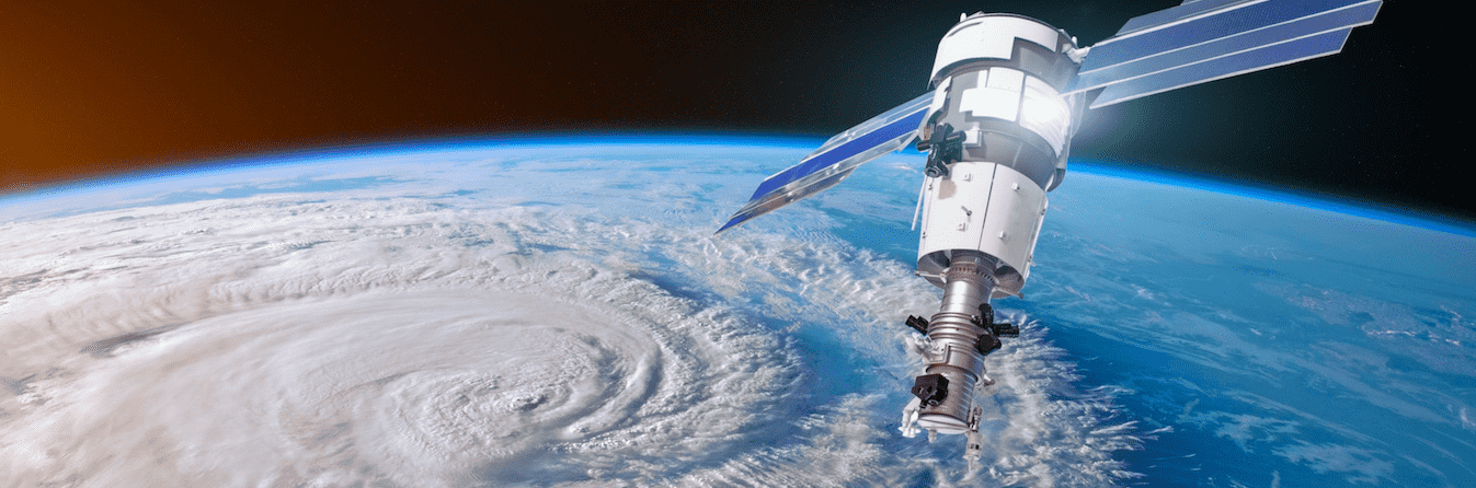
Natural disasters are increasing in frequency and severity. They are always unfortunate, having been associated […]

By AiDASH | November 20, 2020
Read More >

Posts pagination

Previous 1 … 14 15 16 … 18 Next

Recent Posts

  • From Firefighting to Fire Prevention: What Utility Leaders Need to Know About President Trump’s Wildfire Executive Order
  • AiDASH introduces enhanced hazard tree management
  • AiDASH wins BloombergNEF Pioneers award for boosting climate adaptation capabilities
  • IVMS adds next-level tree detection with AI model upgrade
  • AiDASH ranked No. 59 fastest-growing company in North America

Recent Comments

No comments to show.

Our Products

  • IVMSIntelligent Vegetation Management System
  • WMPSWildfire Mitigation Planning Services
  • CRISClimate Risk Intelligence System for Wildfire Mitigation & Storm Resilience
  • AIMSAsset Inspection and Monitoring System
  • BNGAI™Biodiversity Net Gain Management System

Industries

  • Electric Utilities
  • Gas Utilities
  • Water and Wastewater
  • Energy
  • Mining
  • Transportation

Platform

Get in touch

  • Get a Demo
  • Contact Us

Learning Center

  • Blogs
  • Videos

Customers

  • Case Studies

Legal

  • Privacy Policy
  • Terms & Conditions
  • Cookie Policy
  • Security, Compliance and Responsible AI

Company

  • About
  • Leadership
  • Investors
  • Careers
  • Press and News
  • Events
© AiDash Inc 2025. All Rights Reserved