Remote Sensing Technology and AI for Utility Vegetation Management

A regulatory perspective sprouting from a pilot study

Introduction

Tulane University Law School’s Utility Vegetation Management Initiative (UVMI) conducted an independent, unbiased pilot field study on the use of satellite technology to determine the effectiveness of satellite technology in improving data accuracy and decision-making for UVM.

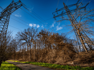
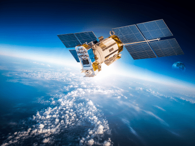
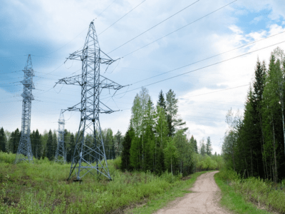
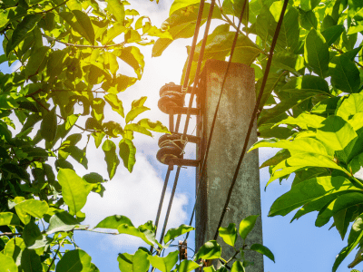
Statistical Findings

0 %
Satellite accuracy with regard to side growth.
0 %
Satellite accuracy in identifying spans that were 10 feet or more.
0 %+
Satellite accuracy with respect to vegetation density.
0 %
Satellite accuracy when recommending the form of intervention.

The findings on the pilot study with respect to many of the most critical factors was that the predictive analysis was accurate more than 95% of the time. More importantly, though, in 55 cases, a standard Level 1 inspection would not have revealed the existence of the tree and power line conflict, and in one of those cases, even a Level 3 inspection would not have revealed the conflict. This meant that the satellite technology was able to find a potential power outage, wildfire or electrocution risk that would not have been found with a standard inspection about once every mile of distribution line.

The challenge

Utility Vegetation Management (UVM) programs are mandated by utility regulators to improve reliability and safety of electric service to the public by addressing incompatible vegetation. But with over 5.5 million miles of electric distribution lines crisscrossing the United States, largely through wooded areas that create exposure to an estimated hundred billion trees or more, UVM inspections for potential tree and power line conflicts are a costly, time-consuming, and error-fraught endeavor.

Remote sensing

Today, there are thousands of satellites in orbit around the earth that take imagery of nearly every square inch of the planet’s land mass; companies purchase the data produced by satellites and use their own proprietary AI-driven technology to interpret this data to detect tree and power line conflicts and predict the severity of such conflicts so as to assist utilities in directing corrective and efficient UVM actions.

Some utilities have been quick adopters of this technology while others remain skeptical.

Regulators have an obligation to ensure that utilities are taking appropriate steps to protect against tree and power line conflicts, but also have a responsibility to make sure that rate payers are not charged for “gold plated” programs.

The study

The test plot within the Southeastern United States covered approximately 70 square miles. That test plot contained 54.3 line miles of distribution line made up of 1076 spans. AiDash provided analysis as to the threat level at each span.

This predictive analysis was turned over to a team of arborists who were tasked to do the following:

  • Determine whether the satellite analysis was correct or incorrect with respect to each factor.
  • If the satellite risk analysis was correct, determine whether it would have been detected on any (or all) of the following:
    • A Level 1 Driving Inspection.
    • A Level 1 Walking Inspection.
    • A Level 2 Zig-Zag Walking Inspection.
    • A Level 3 360˚ Walk-Around Inspection.
  • Report on the forest cover type.

Conflicts missed by humans

The most significant takeaway from this pilot study was not the accuracy of the technology with respect to these particular items, but was instead with regard to the ability of the technology to detect tree and powerline conflicts that would have been missed by humans — even highly skilled arborists — acting without the benefit of the technology.

Recommendation to regulators

Assuming similar results can be replicated in future studies, an extremely strong case exists for regulators to mandate the use of AI-supported remote sensing as a strategy for ensuring the safe and reliable delivery of energy, and that the use of satellite analysis should form part of wise UVM strategy in this regard.

Tulane University Law School’s UVMI

Founded in 2020, the Utility Vegetation Management Initiative’s (UVMI) mission is to serve as the world’s preeminent center for the understanding, development, and improvement of law, policy, and practice of utility vegetation management in order to promote the creation of safe and environmentally sound co-existence among people, infrastructure, and the natural environment while also ensuring safe and reliable delivery of energy and other utilities.

UVMI’s vision is to earn its role as the unquestioned center for excellence in every aspect of law, policy, and practice that impacts the intersection between utilities and the environment by studying, educating, and advocating the fair, well-reasoned, and science-based understanding of global, national, and local factors that influence proper decision-making in all aspects of utility vegetation management, and in so doing, to be of aid and assistance to government, courts, industry, NGOs, and the public at large.

Dive Deeper

The study is pending publication but the pre-publication version is available here, free of charge, on request. It provides an in-depth look at the methodology, statistical findings, and critical impacts of using satellite-based AI-supported remote sensing technology for Utility Vegetation Management.

Study Authors

Lawrence J. Kahn

Director, UVMI & Distinguished Research Fellow
Tulane University Law School

David Anderson

Assoc. Professor of Mathematics & Statistical Consultant
Xavier University of Louisiana

Jacob Roschmann

B.S. University of Texas & J.D.
Tulane University Law School