SECURING TOMORROW
Together we safeguard critical infrastructure to
secure the future of humanAItyTM
News Flash: AiDASH Unveils CRIS™ 2.0 to Help Utilities Prevent Wildfires Before They Ignite. Learn More!


Globally, over 185 companies of every size use AiDASH products

Accessible
From the C-suite to the field, see the what, when, and where of your assets.
Actionable
Get data you can actually use to take the right steps at the right time.
Compliant
Reduce risk, avoid penalties, and report to regulators and stakeholders.
Find your advantage from space
Improve reliability by 10%
Reduce vegetation management expenses by 20%
Reduce land and air sustainability costs by 70-90%
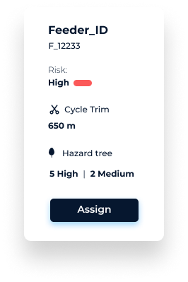
Apply a risk-based approach to utility vegetation management
Intelligent Vegetation Management System
(IVMSTM)


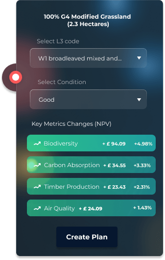
Manage your own biodiversity and carbon programs
Biodiversity Net Gain Management System
(BNGAITM)




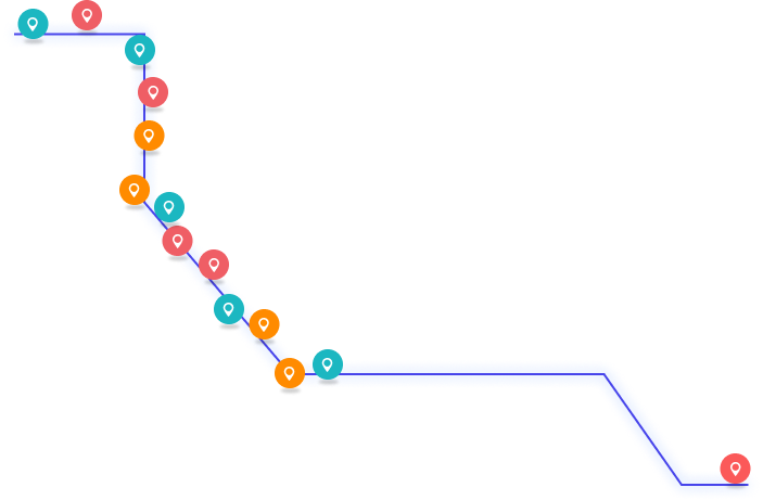
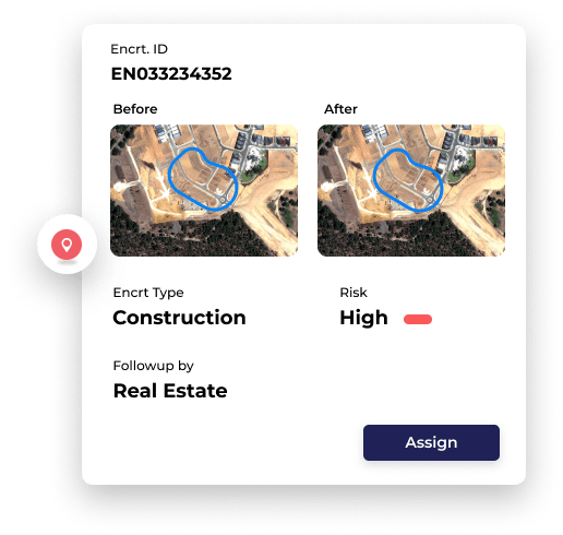
Survey all pipelines and their ROWs
Integrity and Encroachment Management System
(IEMSTM)


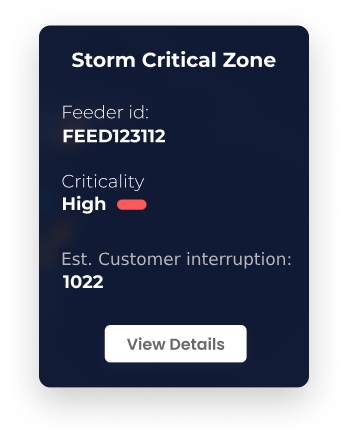
Feeader ID:
FEED123112
Criticality:
High
Wind Speed:
106m/h
Est. Customer intruption:
1022
Put deep-domain climate technology to work
AiDASH helps core industries manage geographically distributed assets.
What our customers are saying

“The ability to image our entire system and to know everything all at once — that is incredibly powerful.”

“A time-based cycle approach prune plan is best practice today, but a data-driven, optimized approach will soon be the industry’s best management practice.”

“The quality and accuracy of the AiDASH habitat mapping is the best I have seen to date from remote sensing and for the first time it is comparable with traditional ground survey mapping for Phase 1 surveys, This is a paradigm shift for the future of mapping and monitoring habitats.”


