Weather any storm or wildfire
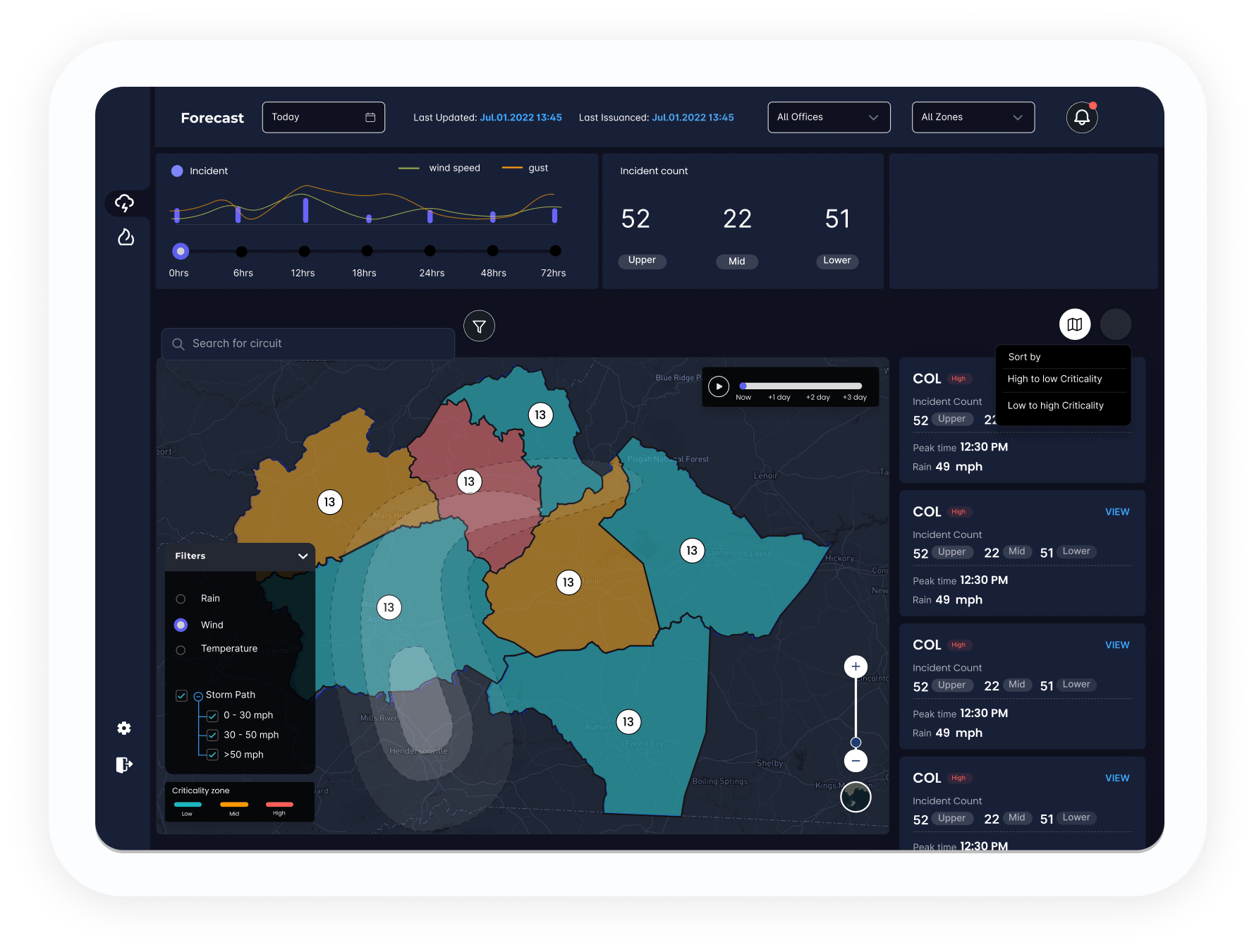
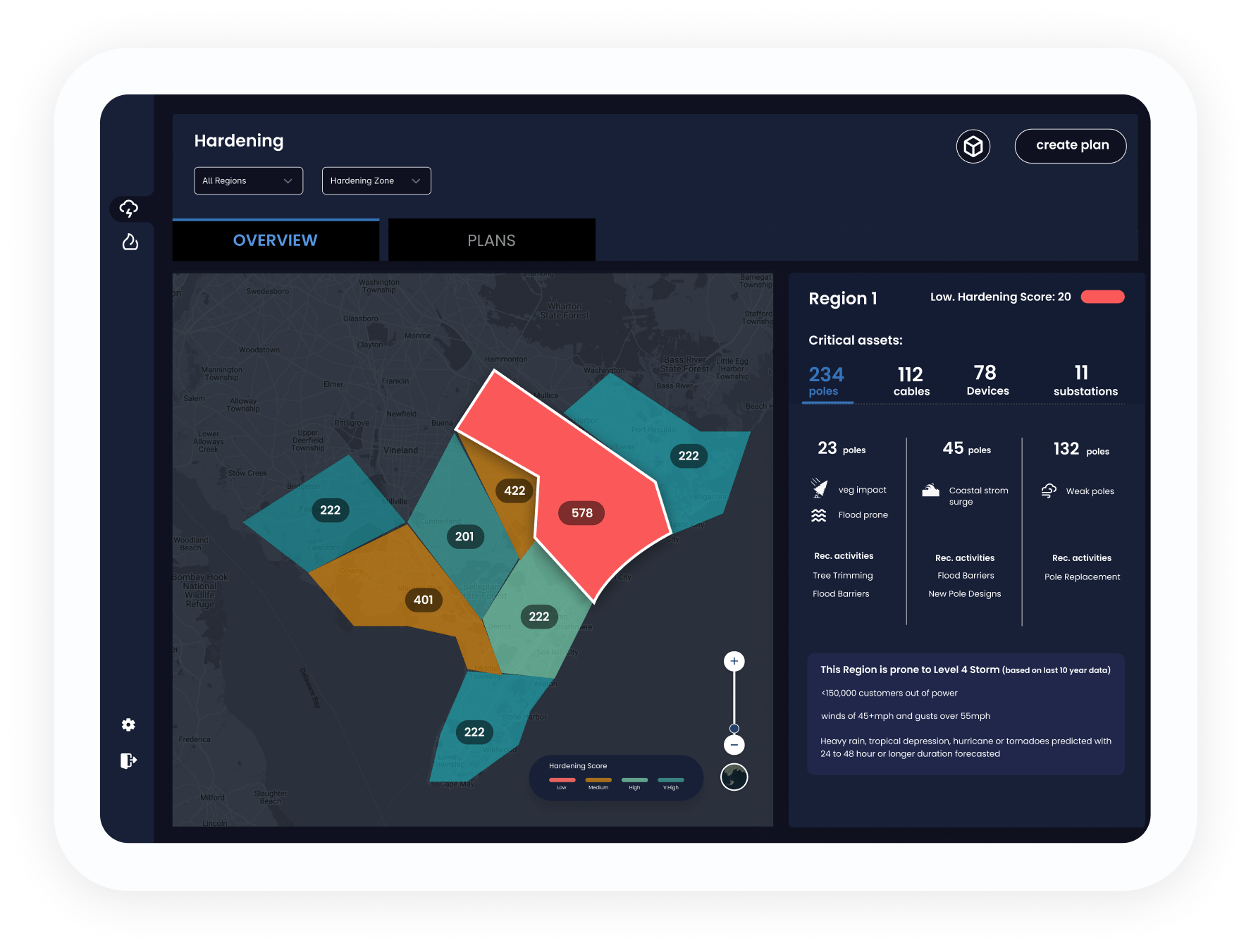
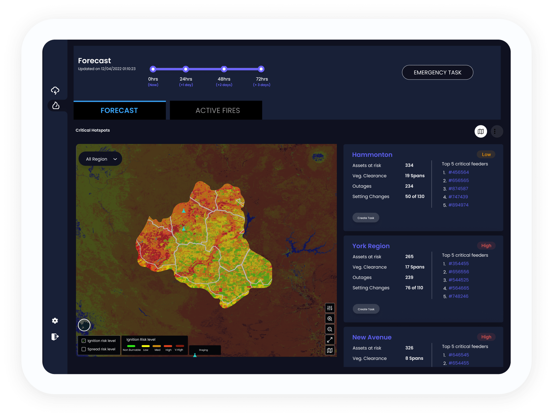
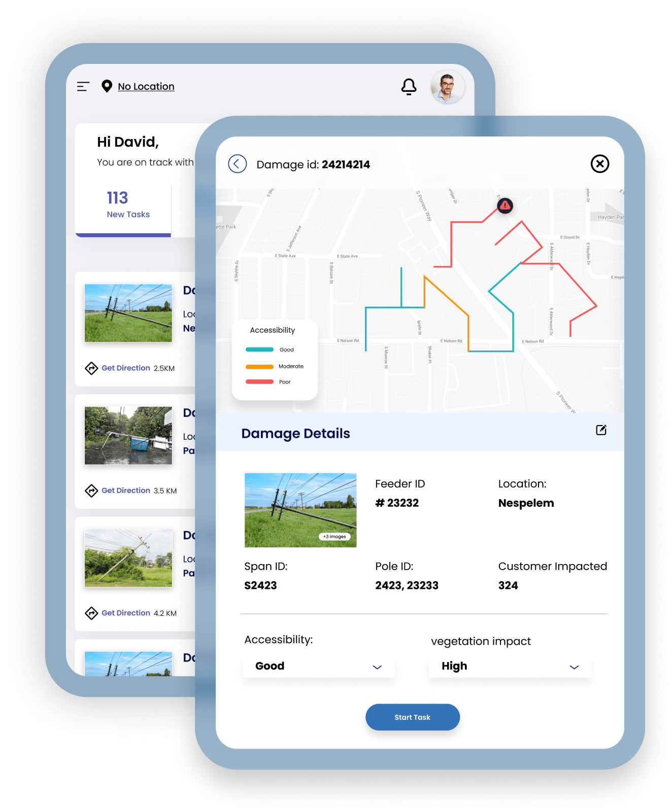
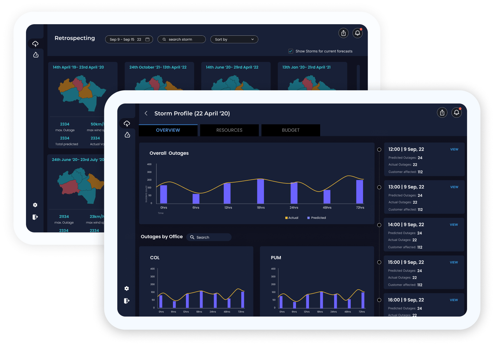
Work with satellite imagery, real-time weather data, and span-level vegetation data to bolster preparedness — in one agile, user-friendly platform. Mitigate risks before, during, and after a storm or wildfire to minimize customer interruptions.
- Predict outages with reliable information as early as 72 hours before landfall.
- Estimate resources to prepare your field, engineering, and operations.


